
Map Miles: Today: 9.7/Total: 227.6
Gps Miles: Today: 10.5/ total: 247.3
Today’s Miles Sponsored by: Dan & Amy, Julee, Diane
I Woke up earlier than I meant to today. I just didn’t sleep very well. I finished the town things dropped a few things off at the post office, and then I was on my way to the edge of town to try to pick up a hitch back to trail. It only took an hour this time. An older woman (who never told me her name) and her dog Bosco picked me up. She was plenty chatty too, which is nice. She’s a local and she was shocked when she heard where I had been staying. She can’t quite believe that hotel is quite running.
I had gps mapped the drop off spot, since there were no roads nearby and she dropped me off right about noon. The alternate route I did on Thursday out of Poison Spring connects perfectly with another short alternate described by both Nic Barth and Jamaal Green to a fun geological area called Little Egypt. It sits right at the base of a cliff and is made up of some unique orangey-red and white striped rocks.

Little Egypt!
There was even a hoodoo there!
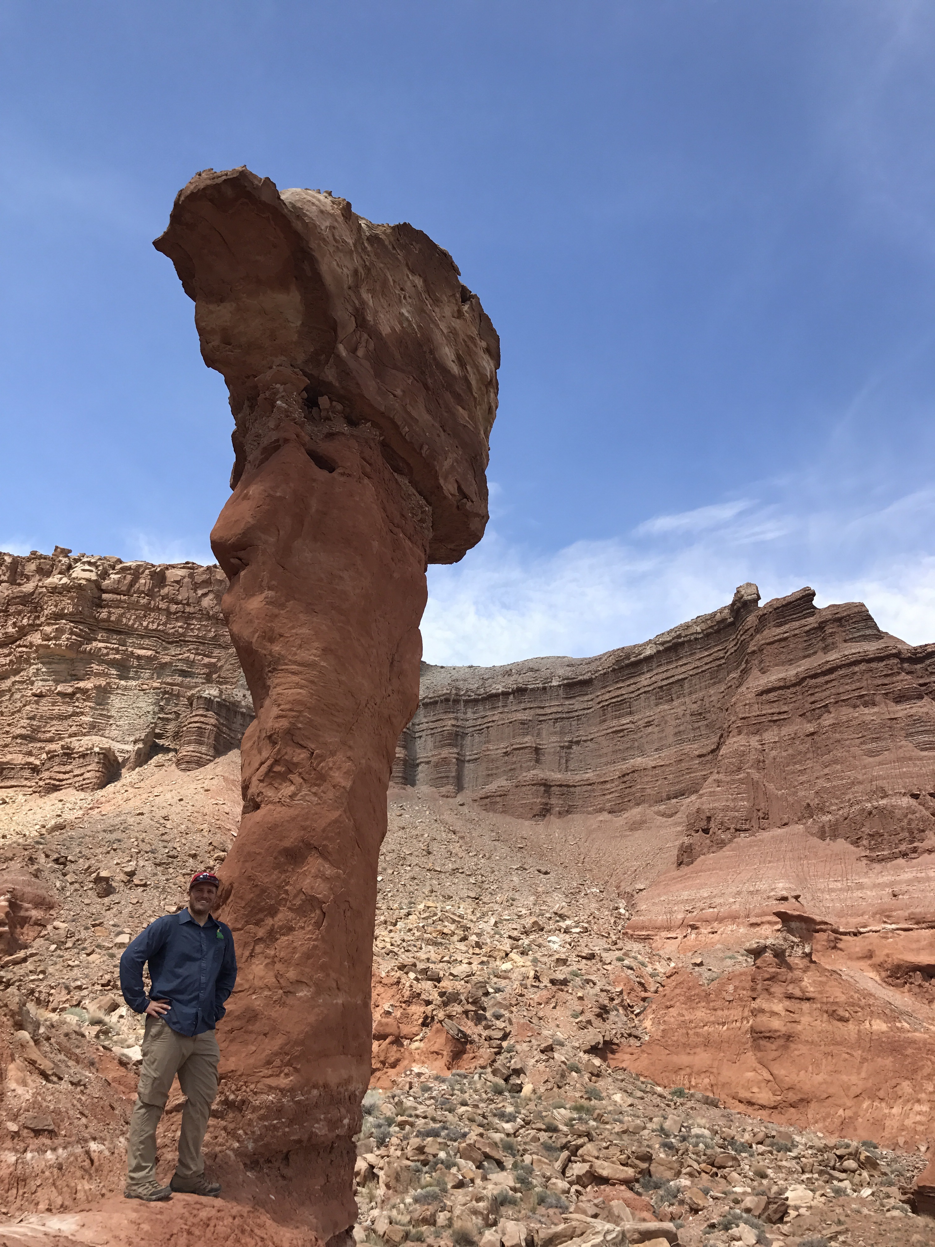
This hoodoo is called “The Torch”
On top you would have thought you were back in cow country- and you were- but more so you were in mining territory. I passed so many small abandoned test mines, placer mine claims, fallen down shacks with rusty bed Springs, more well built shacks still standing, even some mines that are currently opporating!

There were three small test mines here and so many more in the surrounding hills.
Even though I was road walking the miles came slowly. On top of the fact that I wasn’t feeling great, I was walking directly into the wind most of the way. It’s also a pretty sustained uphill climb too- I think I gained about 3,000 feet of elevation. I rejoined the guidebook route and kept on the steady climb up towards the Henry Mountains trying to make the best of how I was feeling. A few cars passed coming down from the mines, including a road grader!
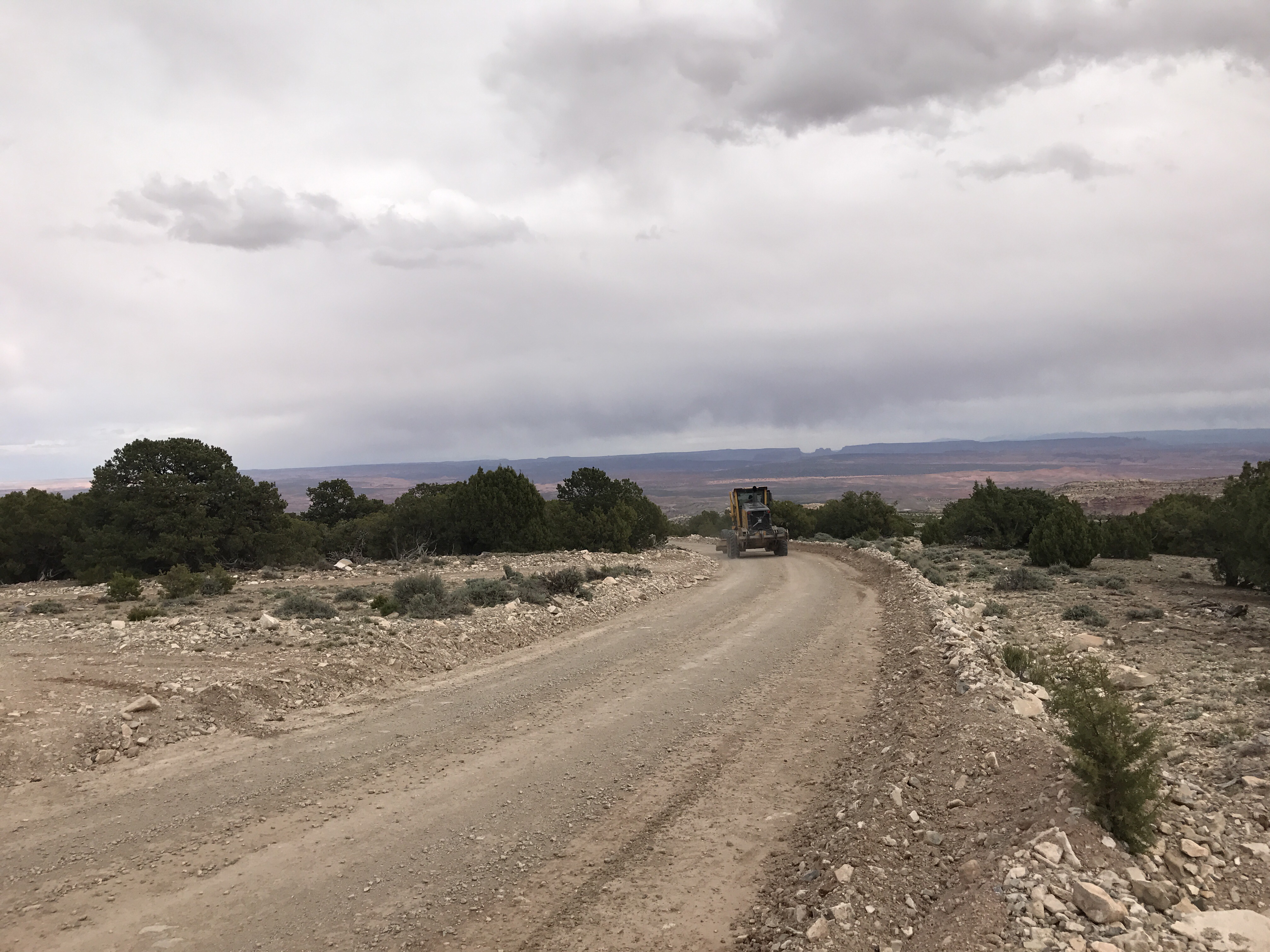
Freshly graded road ahead!
I got to camp around 6pm. It was already cold, and I was feeling pretty miserable. The headache was back with a vengeance all day. I quickly refilled my water bottles and then went to cook dinner and realized I’d forgotten to buy more stove fuel for this section! Ack! I probably have enough to get me through a few days but not the full section.
I did have one no cook meal in my pack so I diverted plans and ate that instead. It was for the best anyway. It let me finish up early and lay down. I’m absolutely exhausted. It’s not even 8pm and I’m going to bed. It’ll be a cold night tonight at 8200 feet. Mr Ellen tomorrow!

It’s a tent night tonight!
