
Map Miles: Today: 27.7/ Total: 409.7
GPS Miles: Today: 27.1/ Total: 435.3
Today’s Miles Sponsored By: Janine, Tiffany, Mo, Marmot, Laura, Jim, Anonymous, Krista, and Sophia
Oh boy that frog chorus turned out to be a bit much last night. On and on, and louder and louder until at least midnight. It was absolutely gorgeous, all the different sounds and tones, but sleep is nice too. 🙂
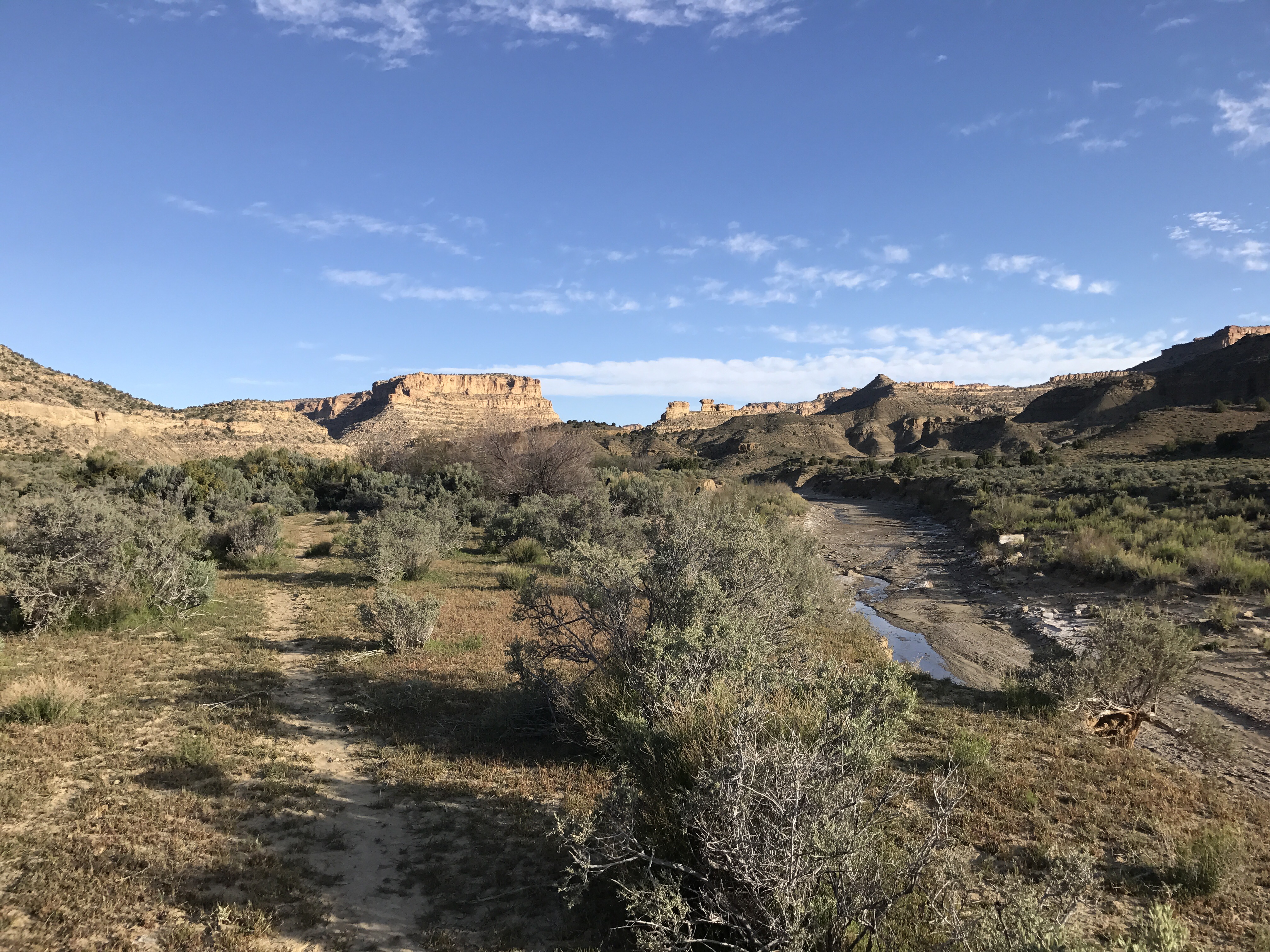
The morning went much the same as yesterday did. Another 4.5 miles following the muddy bed of Last Chance Creek followed by about 7 miles in Paradise Canyon, which was very similar. I kept getting bogged down in the same questions- try to walk the bed and inevitably get muddy or head up into the sand. Walking in the bed was tricky. It’s wide and the creek is only in a small portion of it, however it winds its way from side to side through the bed. You can also see where it changes it’s course frequently too, so while it may not be flowing on that side now, it may not be solid walking either. But the sand was as slidy as always. My ankles balked at both options.
At one point I did look up to the bench above me and see a cow. I followed it’s trail up and, while I scared she and her compatriots off, was happy to discover the one non sandy cow path of the last two days!
I have trail! Thanks cows!
It even took me by this fascinating fire hydrant well. It’s not marked as a water source on our maps ( though the well is marked on the usgs topo) so I wonder if it’s just not good water.
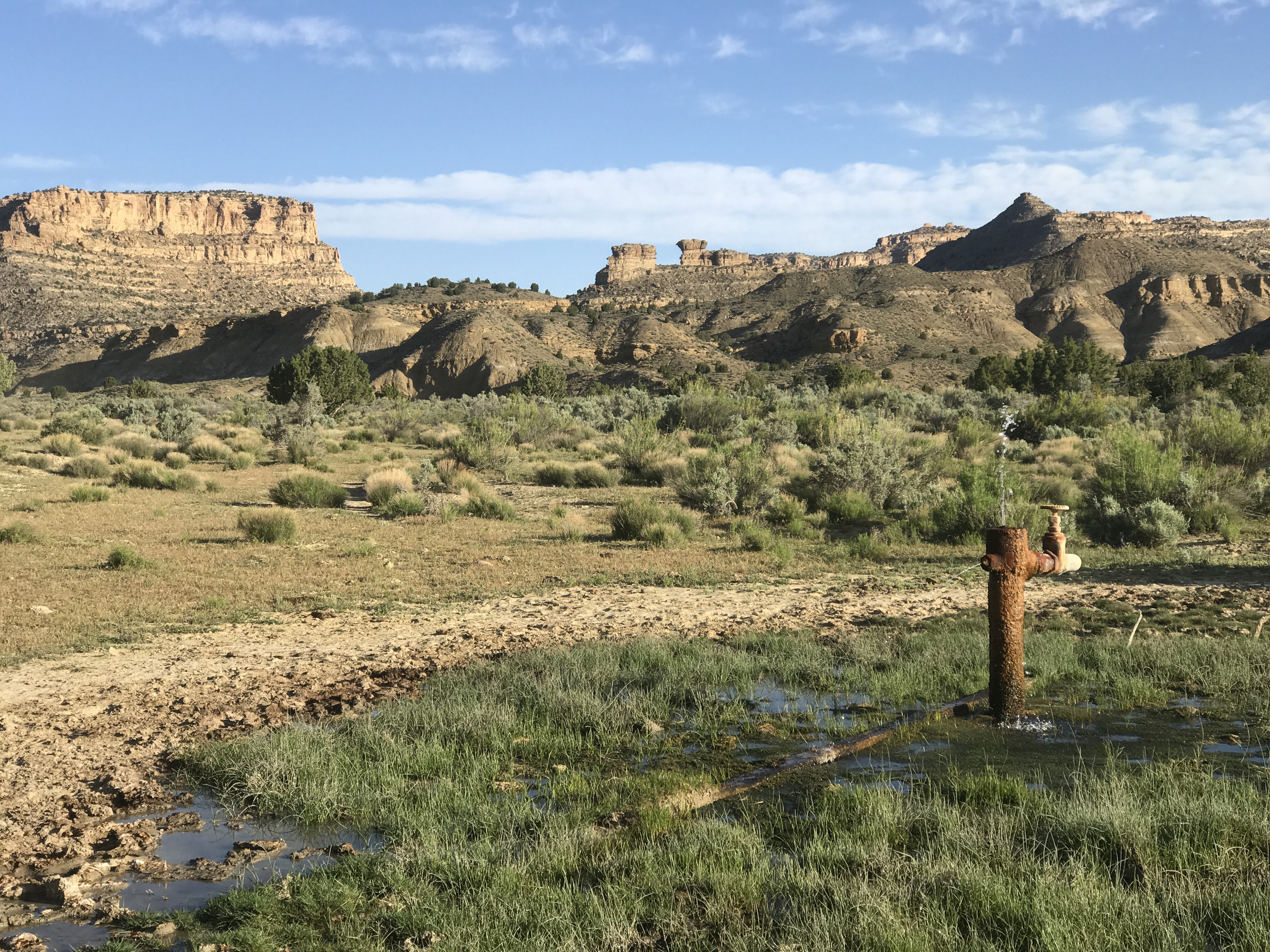
Fire hydrant well spewing water everywhere.
I also discovered blooming lupine for the first time! It’s so exciting to see all the new wildflowers!
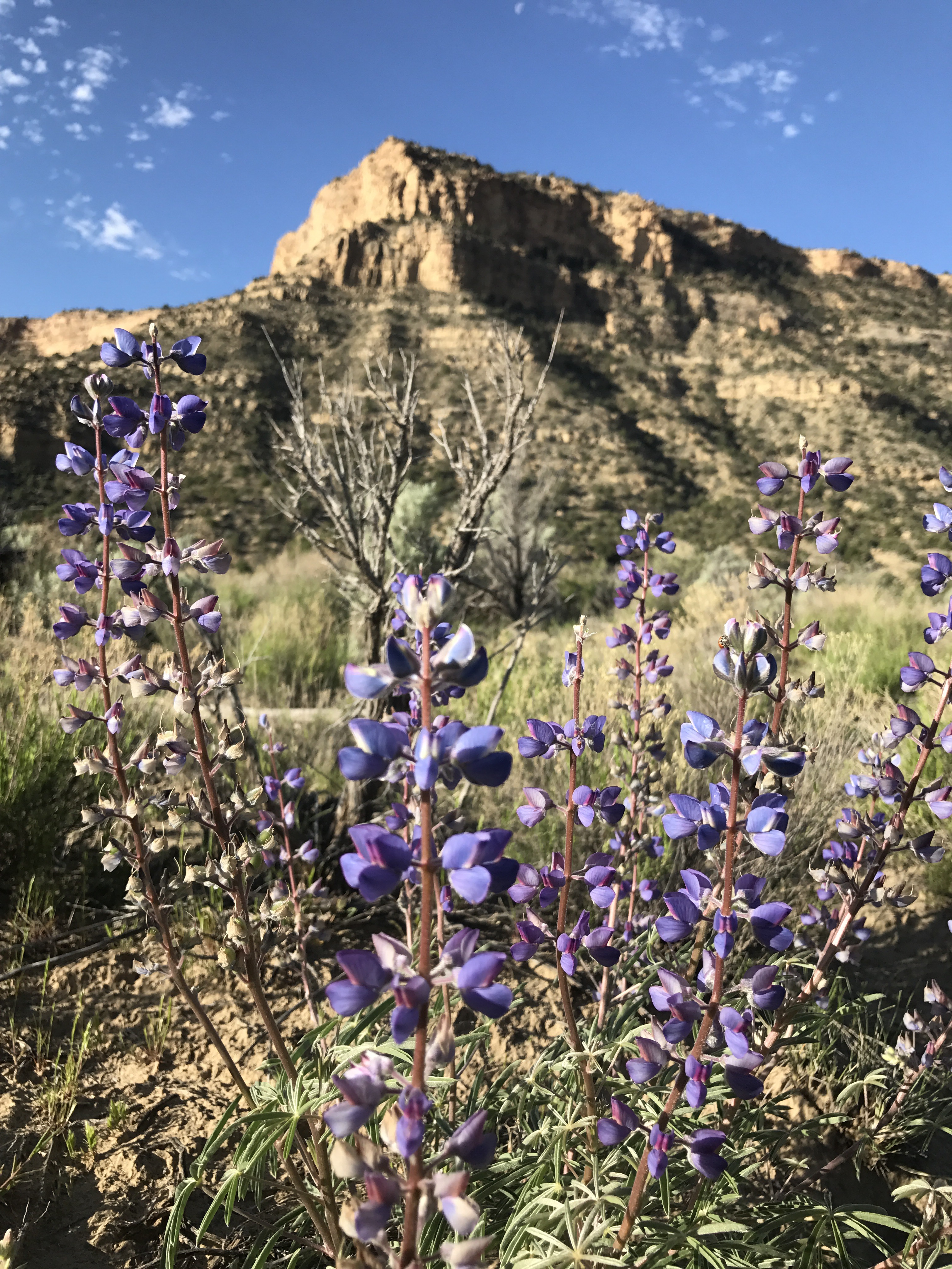
Lupine! Some of my favorite wildflowers!
11.5 miles into the day, Paradise Canyon dumped me out onto a jeep road. It was only 11:30, so I took a nice long shady lunch break before heading out on part 2 of the day- a 16 mile road walk.
My view for most of the afternoon
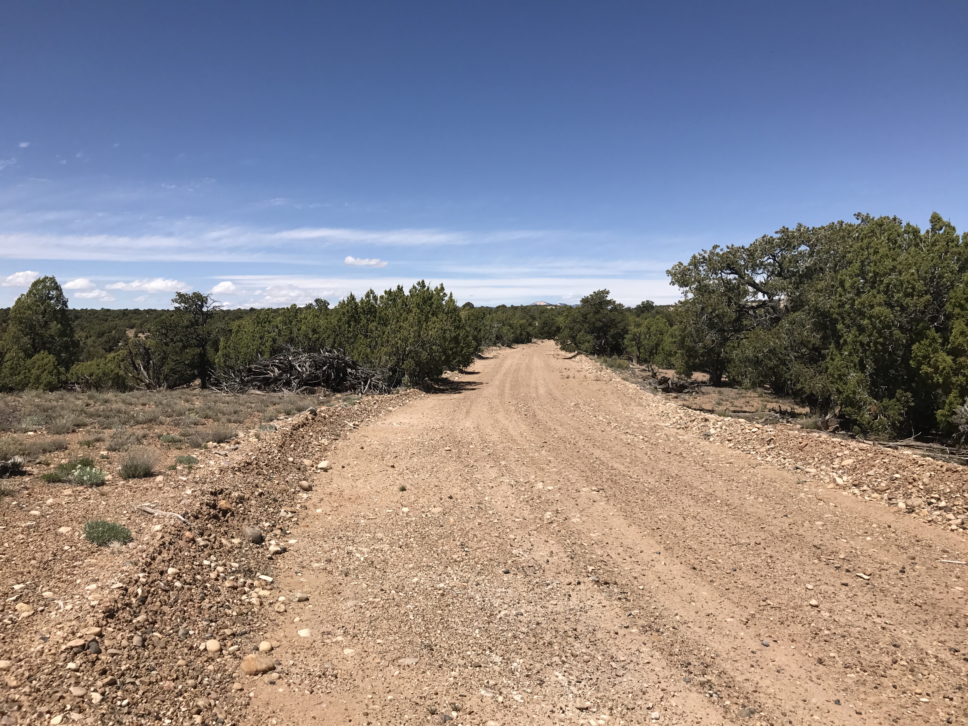
After an initial climb, the miles went by pretty fast. The scenery was mostly the same, scrubby trees lining the road. A discarded water bottle, coke or beer can every half mile or so. I actually found myself poking them to see if they were empty or if maybe they were unopened. I was a little low on water- I had 1.5 quarts, and so I think I was imagining a little too vividly the taste of a cold root beer or coors lite.

Cattle grate at the road’s early high point and a view of the terrain to cross in the next few days…I mean hours.
On and on went the road. Quick miles, and relatively cool thanks to a strong afternoon breeze. I was still running a little low on water when I realized The last three miles were up and over a small mountain range. Not huge, but big enough that more water would really be helpful.
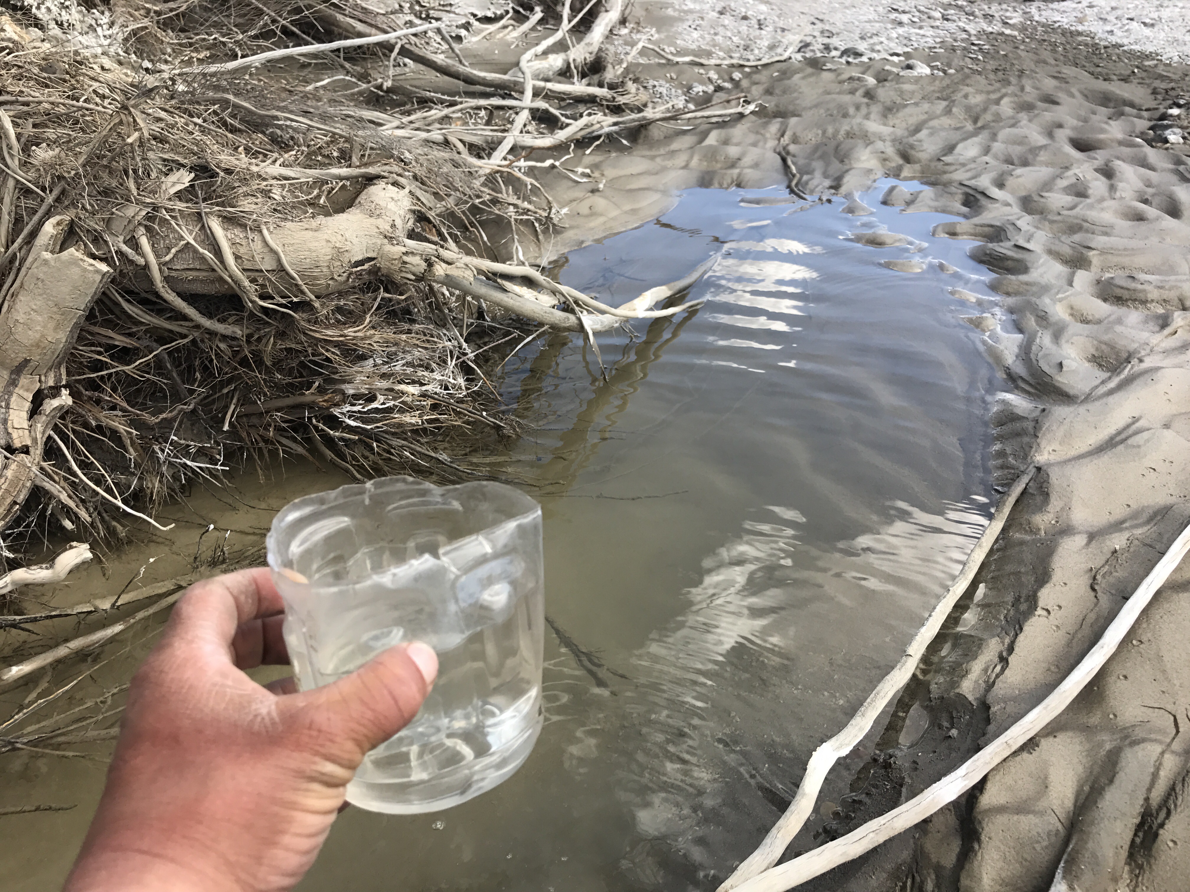
About that time I was passing through Blue Wash where I noticed a small puddle of water. I had about a half quart left for the next 3 uphill miles, but I was definitely already dehydrated. I was going to pass it by. Tough it out- the water was clear, but it was a small puddle and didn’t look to have any aquatic life or anything.
That’s when Scoopy spoke up. Have I introduced you all to Scoopy yet? He began his life as a fruit punch Gatorade bottle before being unceremoniously sawed in half to serve his present purpose- scooping water from shallow lakes and creeks into my filter bag.
Now Scoopy also talks to me. Whenever I’m about to pass by a not so great looking water source, I usually say, “Scoopy, what would you do?” His answer is always the same:
“GET WATER!!”
His answer is always right, and I always find myself literally turning around to fill up. Even one extra quart is better than nothing. Thanks Scoopy for being my water conscious.
Meet Scoopy! 🙂
Now with one extra quart I climbed the uphill with ease and was spit out into a beautiful view of the Butler Valley.
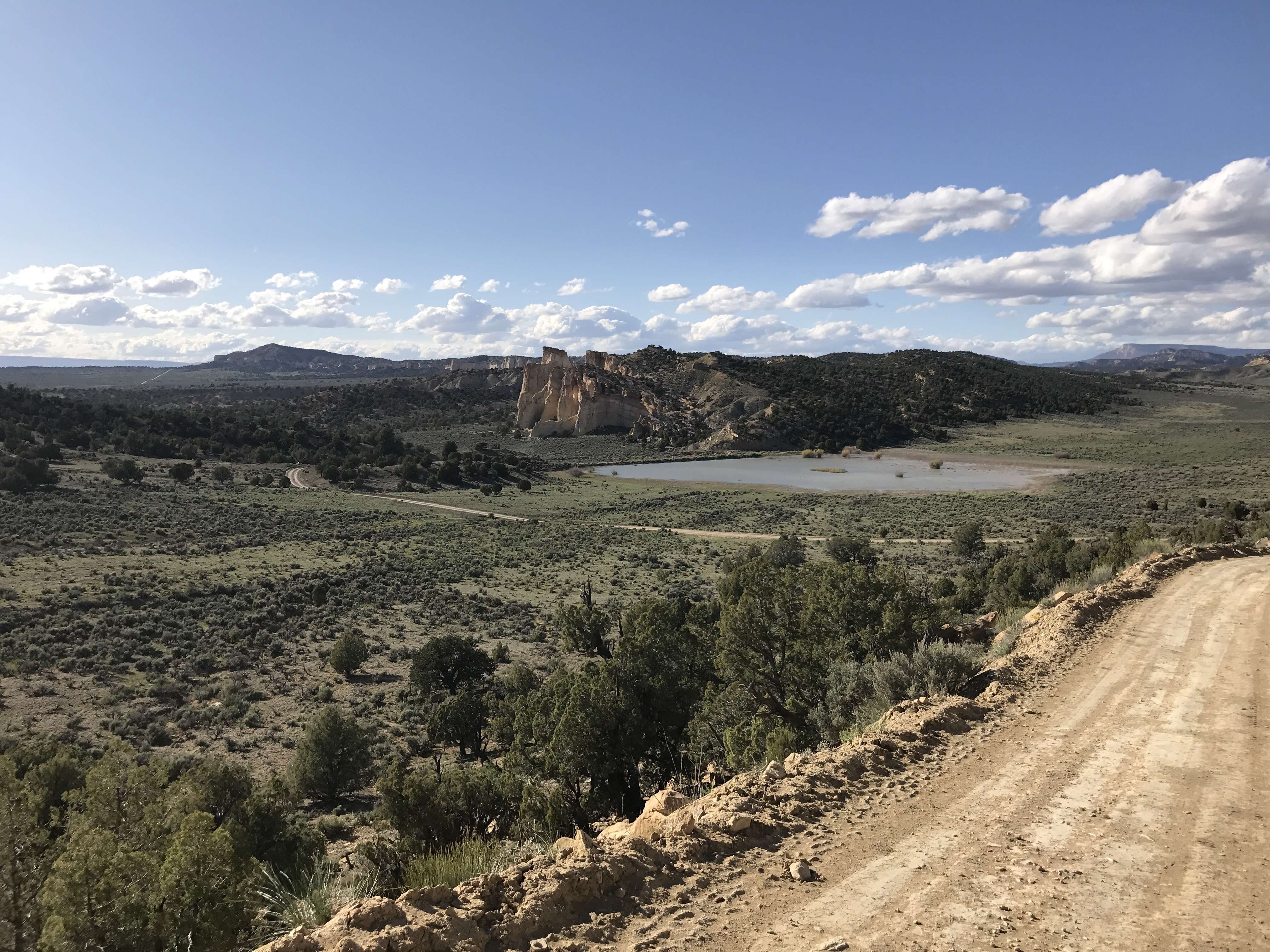
Butler Valley
The map marked an “earthen water tank” in the valley, but I didn’t quite expect this beautiful lake sitting just beneath the Grosvenor Arch complex. The Arch sits in a nifty sandstone formation that’s not really similar to any of the surrounding rocks. It’s actually a double Arch.
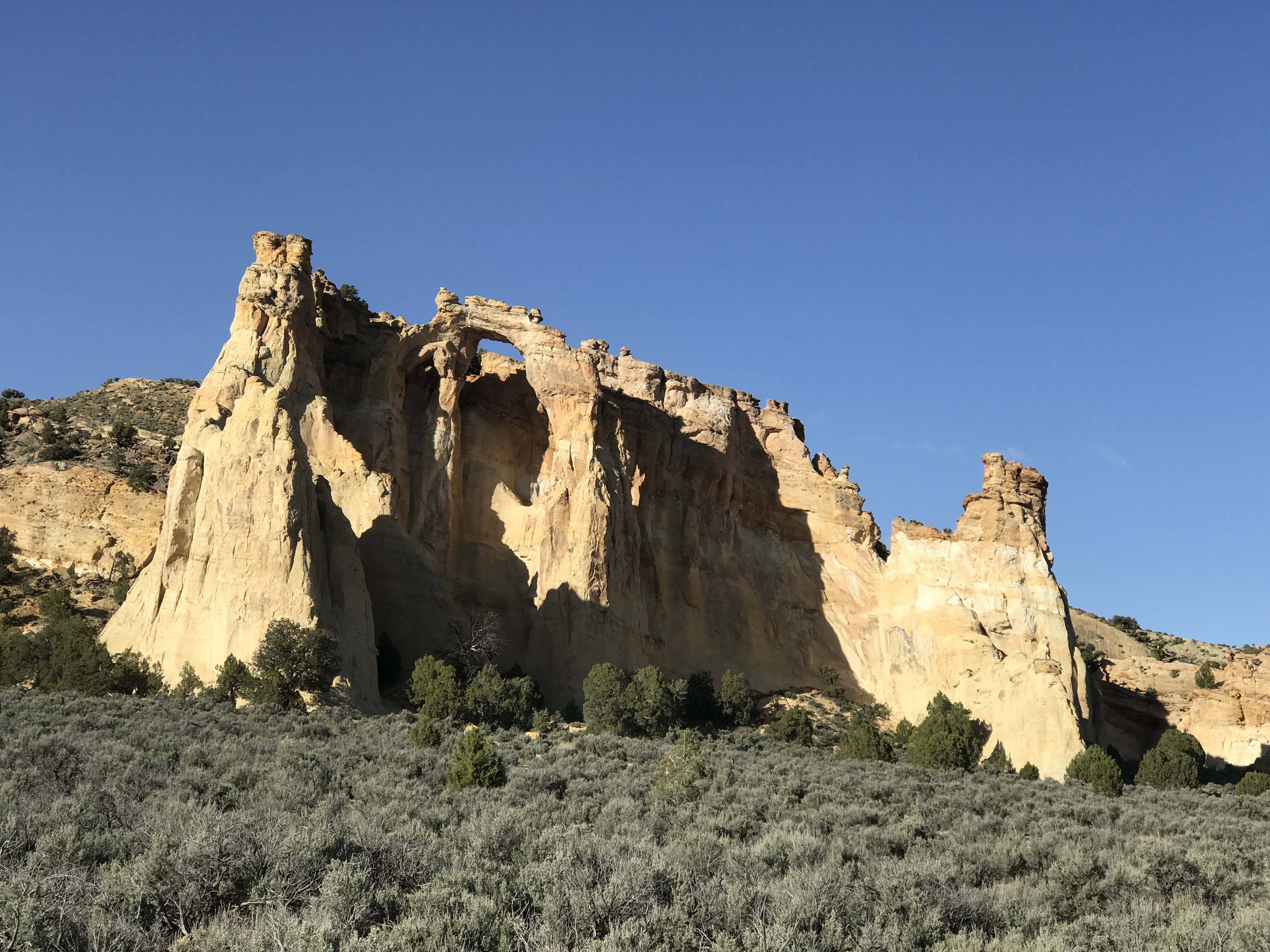
Grosvenor Arch was originally known as Butler Arch, but changed in the 30s to honor one of the early presidents of the National Geographic Society.
There’s a small picnic area and an outhouse here. No need to go anywhere else tonight. I was on site by 6pm. Kinda remarkable- my longest distance day so far with one of my shortest full days of hiking. There was one car in the parking lot, so I dropped my things and picked up my water bottles to go fill my water at the lake. I could see cows roaming the distant shore and birds were darting back and forth over the surface looking for their dinner. It was so picturesque.
Back at the picnic area, The wind really started whipping up. I had to make my dinner in the outhouse to keep my stove lit. I also discovered that ants had infiltrated my cooking pot overnight last night, and I’d been carrying them with me all day! So gross. Took a while to clean out. I also noticed a dead mouse on the outhouse floor, so I’m definitely hanging my food tonight. I was surprised when a couple drove up around 8:15, about 15 minutes before dark, to take their photos with the Arch- it had been what they’d been hoping to see all day. I’m glad they made it! Ominous clouds were forming in the sky, but they’re all gone now. Camped at the picnic area. No shame. Just me and the Arch and the wind and the stars.
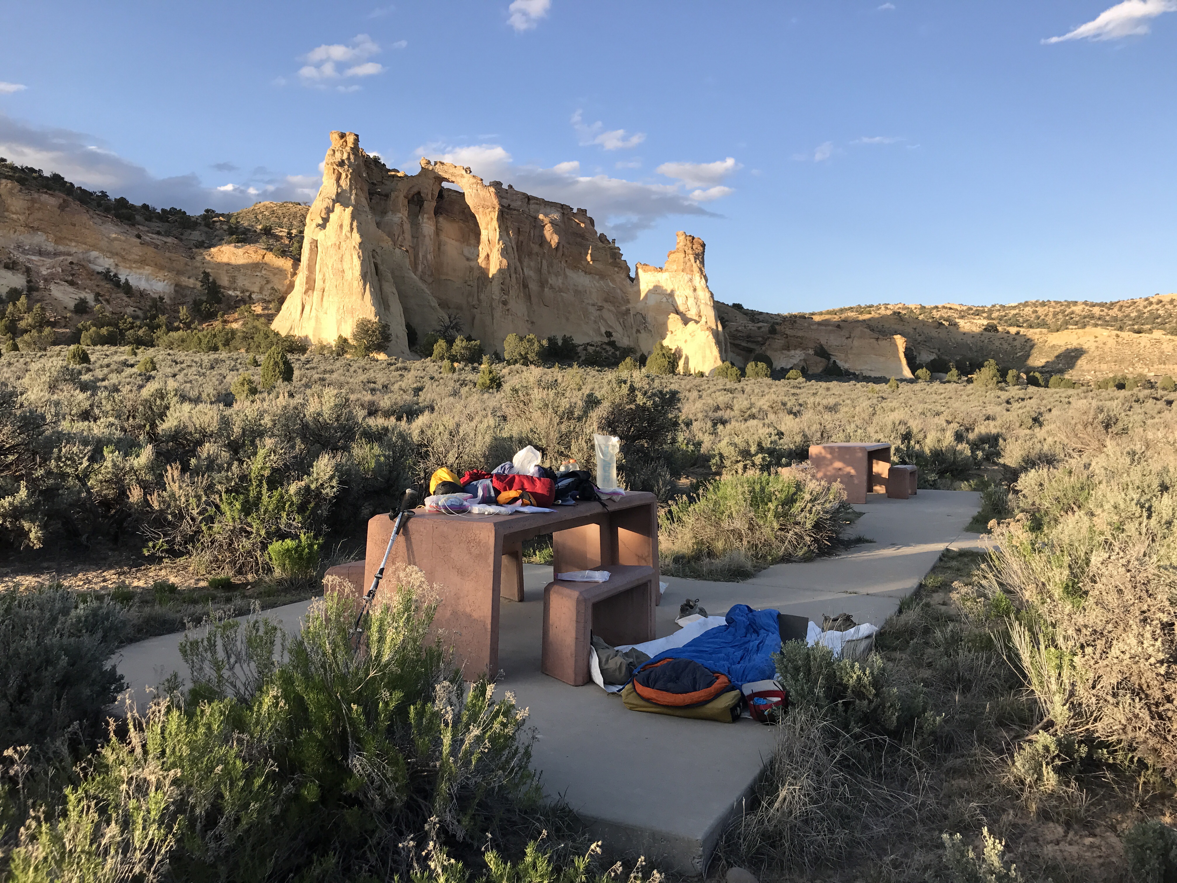
Camped at the picnic table. No Shame.
