
Map Miles: Today: 24/ Total: 593.8
GPS Miles: Today: 27/ Total: 627.9
Today’s Miles Sponsored By: Eva, Breck, Jaree, and Anonymous
Woke up at 4 to pee and was treated to the stariest of stary nights I’ve seen this trip. Full Milky Way. Meteor flashing through the sky. It couldn’t have been more perfect.
I officially was up again at 6, and hit the trail at the usual time.

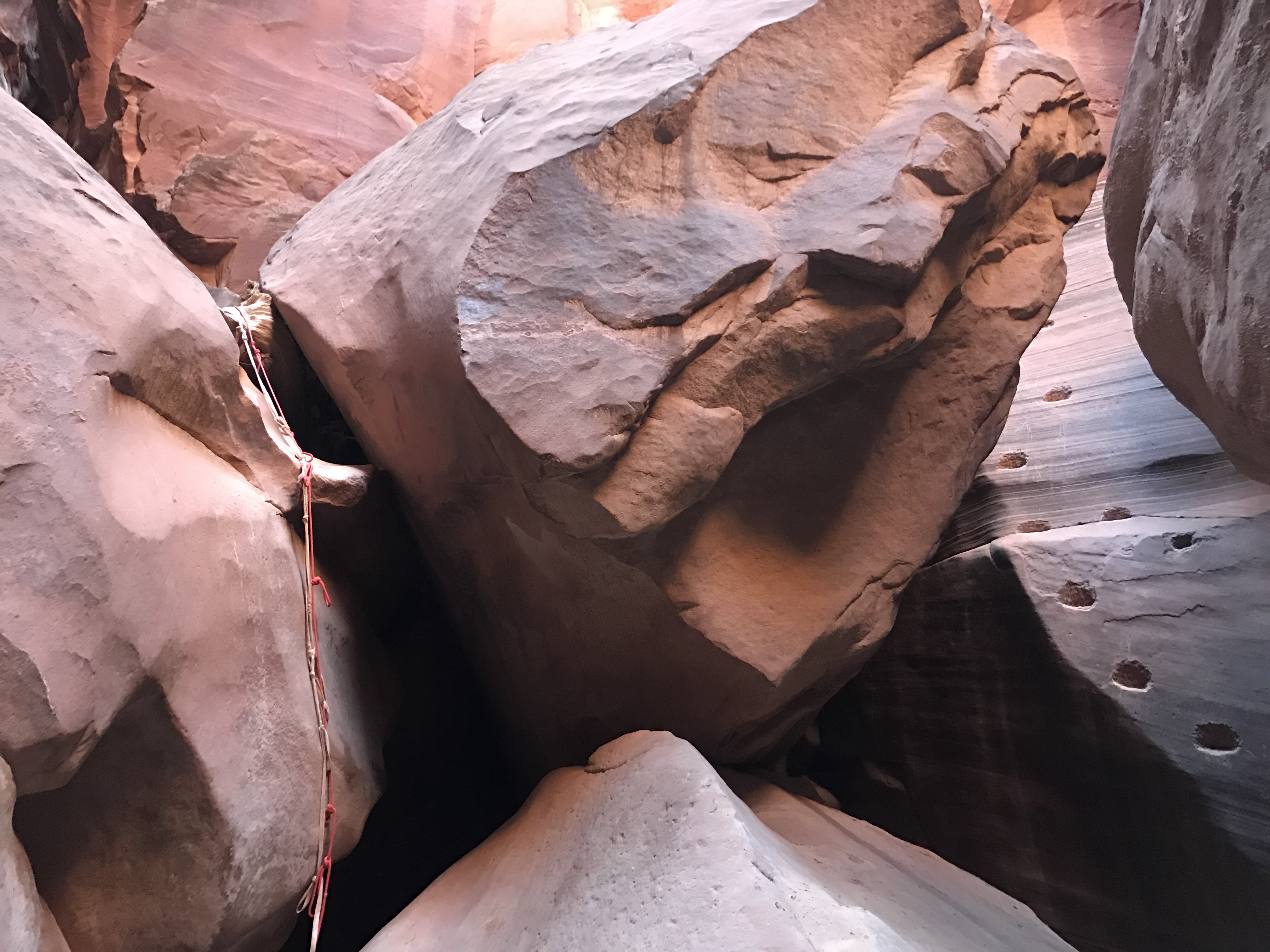
Looking down from above.
Going down the Middle Exit was significantly harder than coming up it- whether because it just is, or because I came down a slightly different path (that looked more straight forward) and got myself a little stuck, I’m not sure. I was on a small slopey ledge and needed to drop about 5 feet down, but try as I might to lower myself it just didnt feel comfortable or safe. Finally after what seemed like an hour, but was probably more like 10 minutes, I took off my pack and lowered it down with my rope, and then easily dropped over the shelf myself. If only I’d done that first.
I passed by the friendly goats again and was back into the slot. Much more enjoyable than yesterday. Only two pools of water to wade, and only knee deep.
The whole morning was devoted to the slot and I loved how the light and shadows played off each other.

I swear these rocks glow.

Amazing shadows.
The slot continued to snake its way around, and with no real access to the sun, it was hard to know which direction you were walking. Eventually a short drop off appeared with a choice between a rope or moki steps to climb down:
I chose the rope for the down. Had I been going up, I might have taken the steps.
Finally not long after the drop off, the Gulch creek began to flow.

The creek that made all this possible.
There had been many small areas upstream that opened up and where trees could grow, but they really started to thrive here.
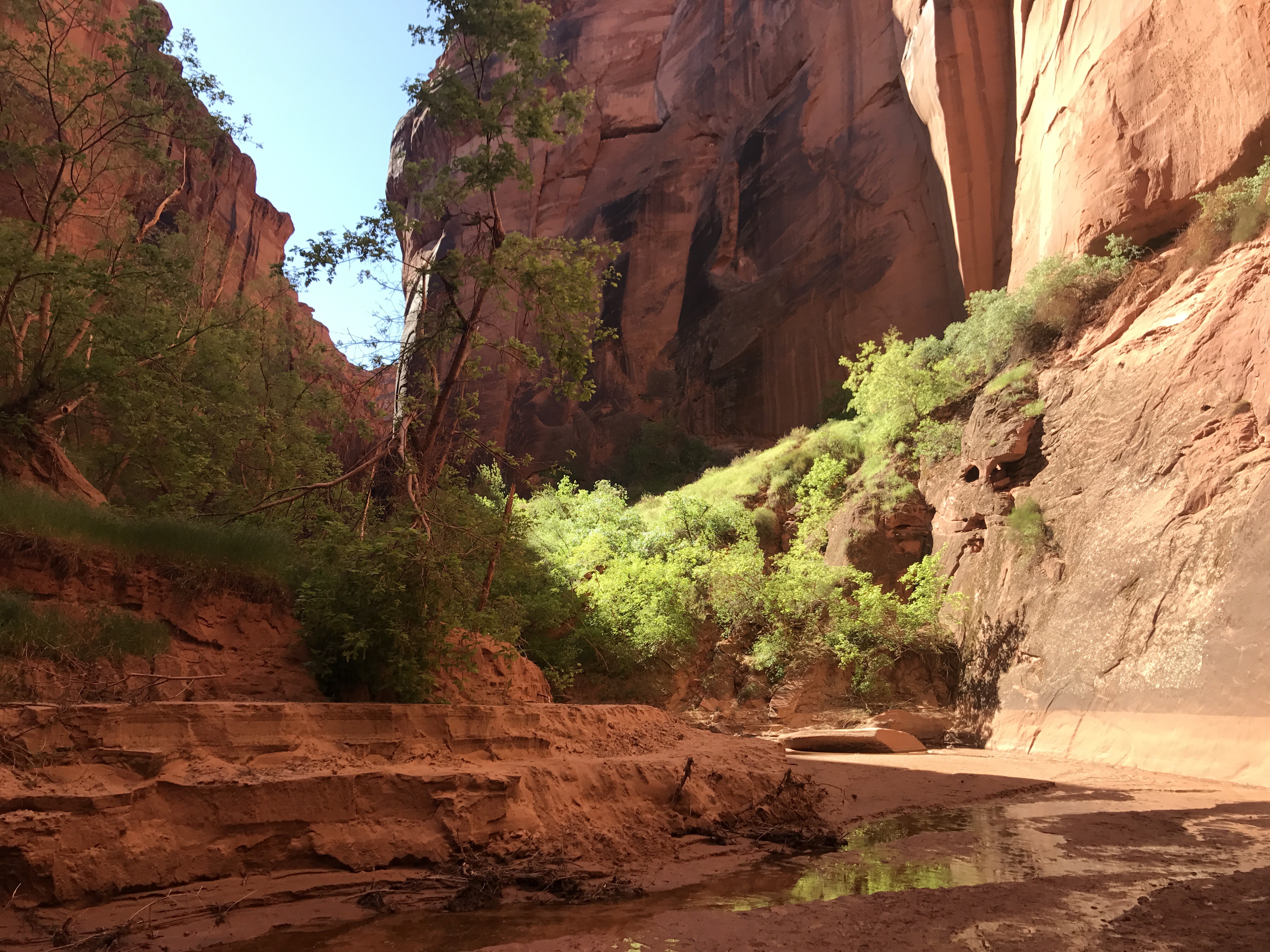
Greenery along the creek.
And then before you knew it the Creek was pouring into the Paria River. You almost could have missed the confluence if you weren’t paying attention. Just a short turn and a slight shift in the color of the water. The Paria is almost flowing in its own slot at this point. Almost. The confluence also marked the boundary with Arizona. A new state!!
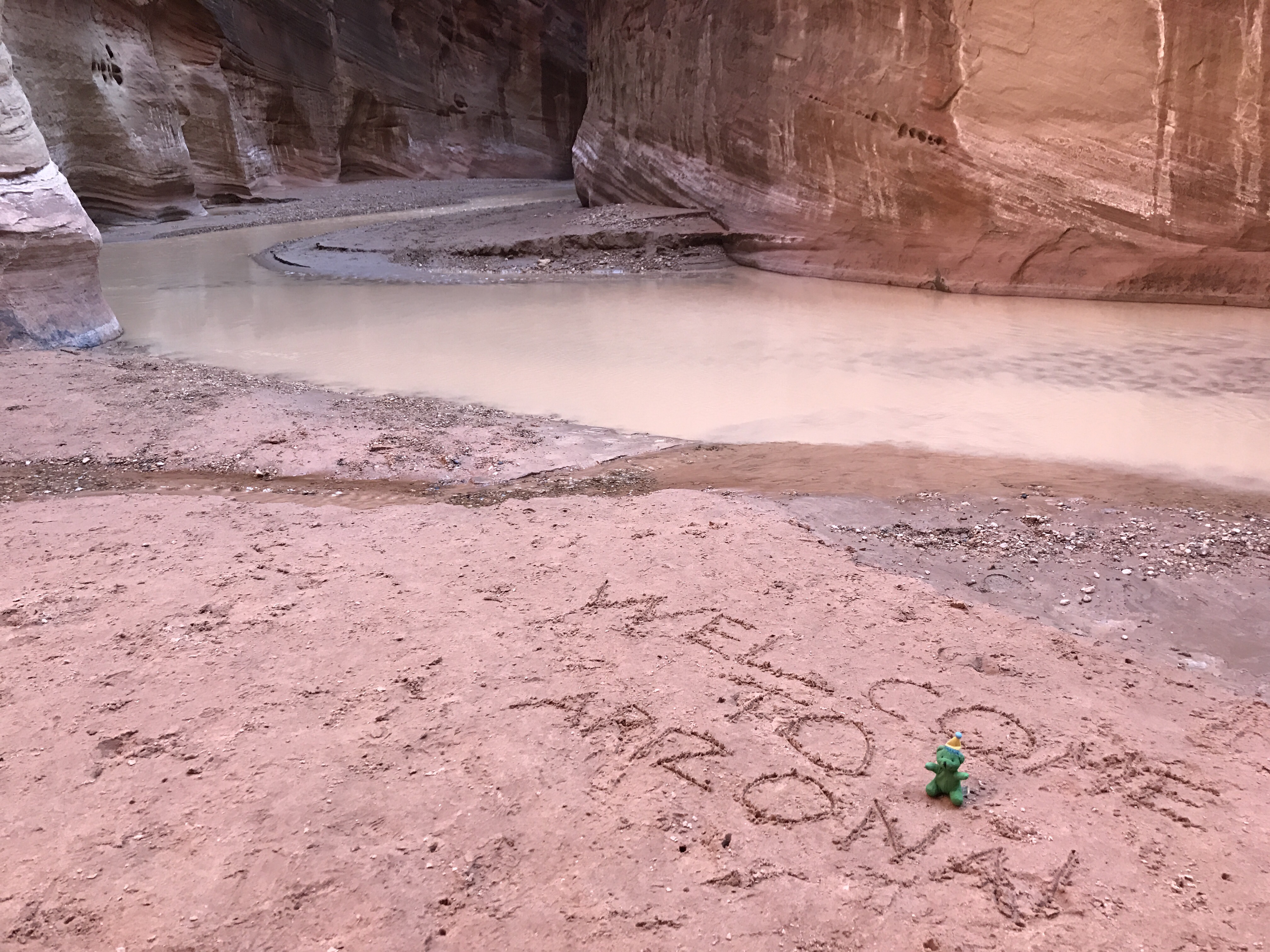
New state!…and new time zone?
Seventeen miles downstream the Paria went and I followed its windy course. Gone was the wide open braided creek with the multicolored hillsides from further north. Here, the cliff walls towered 2,000 feet high forcing the river into its small channel. Benches and shelves and filled with trees and grasses lined the floor. There were hundreds of good camp sites and flowing springs all around.

High walls, open beaches, slow flowing river, and shady trees make for pleasant walking.

I bet that bench would be a bovine paradise if it could get there.
I frequently had to wade in and out of the creek, my feet were not dry all day, but the ankle deep water never gave much of a problem- except for my first true quicksand experience. Straight down to the knees.
The miles of river wading can get a little tedious though, no matter how spectacular the beauty. And so when the canyon bottom narrowed just a bit and the open sand Benches gave way to rocky shores and a faster creek, I didn’t mind.

Beaches gave way to slickrock as the river narrowed and sped up.
My plan had been to climb out to legal camping today but I’m stopped at the base of the cliff instead. I figured it’d be better to do an 1800 foot climb on fresh legs and dry feet. So I took my time in the last mile looking for a petroglyph panel that I didn’t find ( though I did find petroglyphs!) and filling up my water at “Last Reliable Spring”
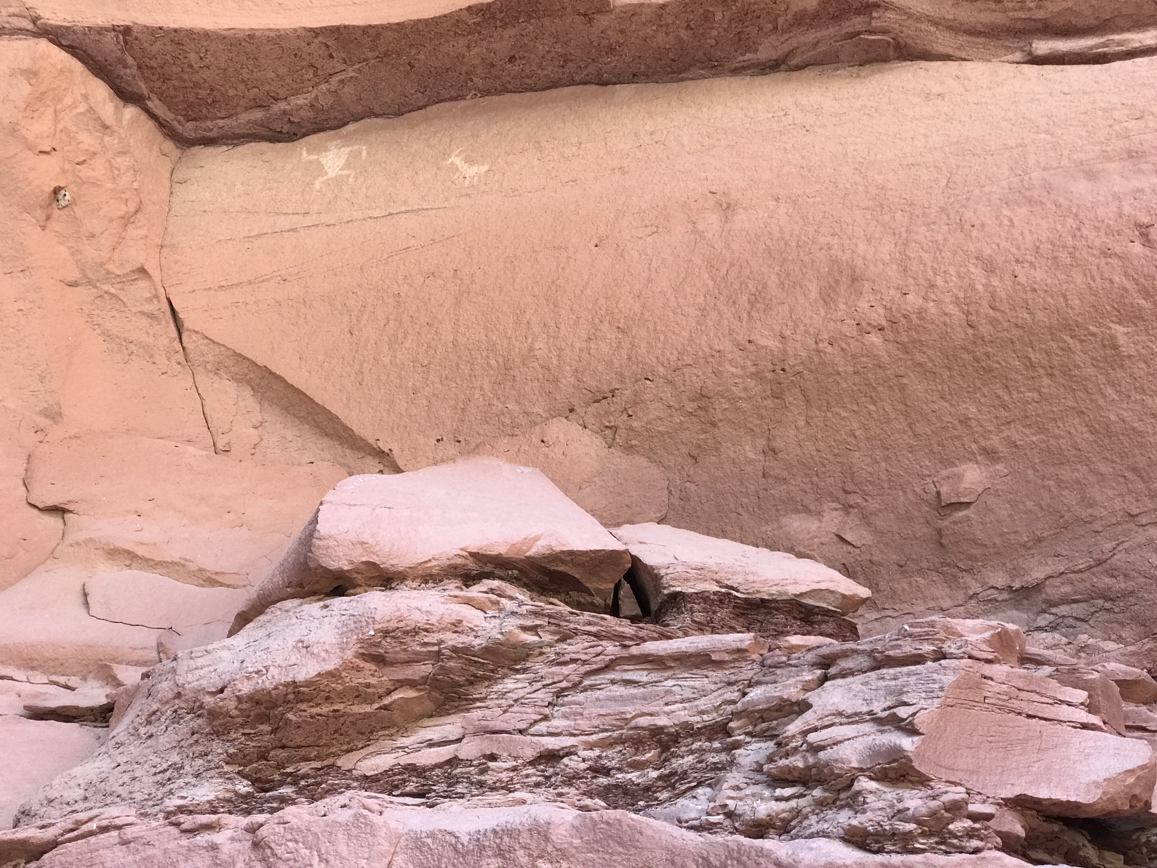
Not quite the panel I was looking for, but still super nifty!

“Last Reliable Spring”, so it’s time to fill up. It’s so exciting when water pours from rocks!
I’m happy to be done for the day. Though the timing is a little different . When I crossed into Arizona my phone automatically updated the time zone. You see, Arizona is special and doesn’t spring forward/fall back. So half the year they are on mountain time and half the year on pacific time. That means that my sunrise/sunset will now be an hour earlier. I’m glad I figured it out in time today! Hopefully that doesn’t get too confusing.

I’m so much happier when I get to cowboy.
