
Map Miles: Today: 31.6/ Total: 911.3
GPS Miles: Today: 32.3/ Total: 959.5
Today’s Miles Sponsored By: it could be you! Donate Today!!
I was ready for the rain when it came. I wrapped my sleeping pad in my rainfly, hung my rain jacket off the outside of my pack for easy access and was out onto the dirt roads chasing cattle through this green and grassy paradise of the Arizona Strip they call home. The herds today were must larger than any I’ve encountered and they all included bulls mixed in with the cattle, which was definitely unnerving because they don’t run away. Just stand their ground and stare back.

Endless grassy cattle paradise of the Arizona Strip.
The road walking marched along up Yellowstone Mesa where Yellowstone Spring marked the first water since leaving Kanab Creek.
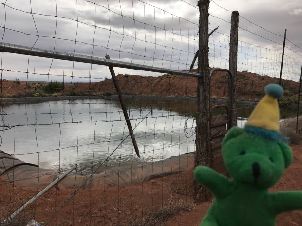
Lydia’s Geopet was so excited to see such a well protected water source. No cattle fouling here!
The rain held off until around 10:15 and then continued as on and off showers through the day the temperatures staying a constant chilly.
With the rain and the proximity to town, I had made up my mind to push into Colorado City today, hitch up to Hurricaine, and then take a day off tomorrow so that I could get back on schedule to meet my friend Laura in Zion on Sunday. I never thought I’d do a 30 on the Hayduke, let alone back to back 30s! But the road was solid and the walking was easy and the scenery was just varied enough to stay interesting as it passed old corrals and windmills and wells each seemingly named after it’s owner old or new (Esplin’s Corral, Dave’s Well, Fern’s Tank, etc)

Esplin’s Corral seemed to be a pretty large operation back in its heyday.
Two thirds of the way to town I turned off onto an alternate route that the map lists as a way to bypass 6 miles of fast driving highway hiking. It was slightly longer (only a mile or so) but I figured it would be safer and more scenic. There is a caveat on the map, “Passes many houses, but doesn’t appear to be any trespassing”
This route, while definitely safer, was a mistake. First – the road conditions deteriorated drastically. One section was crosscountry, and most of the other “roads” I followed were barely visible two tracks.

Barely visible two track.
When I did get to a “good” road it always ended in a padlocked gate, and there were sections when I had to hop over fences and even once through what seemed to be someone’s driveway and over their (padlocked) front gate. Maybe there was no trespassing a few years ago when that note and track were made, but there definitely is now. I felt so uncomfortable with this route- especially after my last accidental trespassing experience. Coincidence that the rain and wind- and even hail- picked up every time I made a sketchy fence climb? I got lucky that I didn’t have to confront any people or dogs – only a couple of bulls- but I hope to never be in a position like that again.

Colorado City sits just at the base of the Vermillion Cliffs.
I was relieved when I was for sure back on public roads in Colorado City, home of the Fundamentalist Mormon Church where plural marriage is still practiced. I made a quick stop in Bee’s Market and then headed to the Highway where I caught my fastest hitch of the trail in about five minutes from three Latino men in a pickup truck heading back home after working their stucco installation job.
Thirty miles before 4 pm in the rain isn’t too shabby, but my feet are feeling pretty beat up so I’m glad to be showered and clean and in for the night. This hotel has DirectTv and HBO. Option overload.
